Anchorages
Desolation Sound
Destinations
Destination | Roscoe Bay Marine Park, West Redonda Island
Wednesday, December 07, 2016TheCambrians
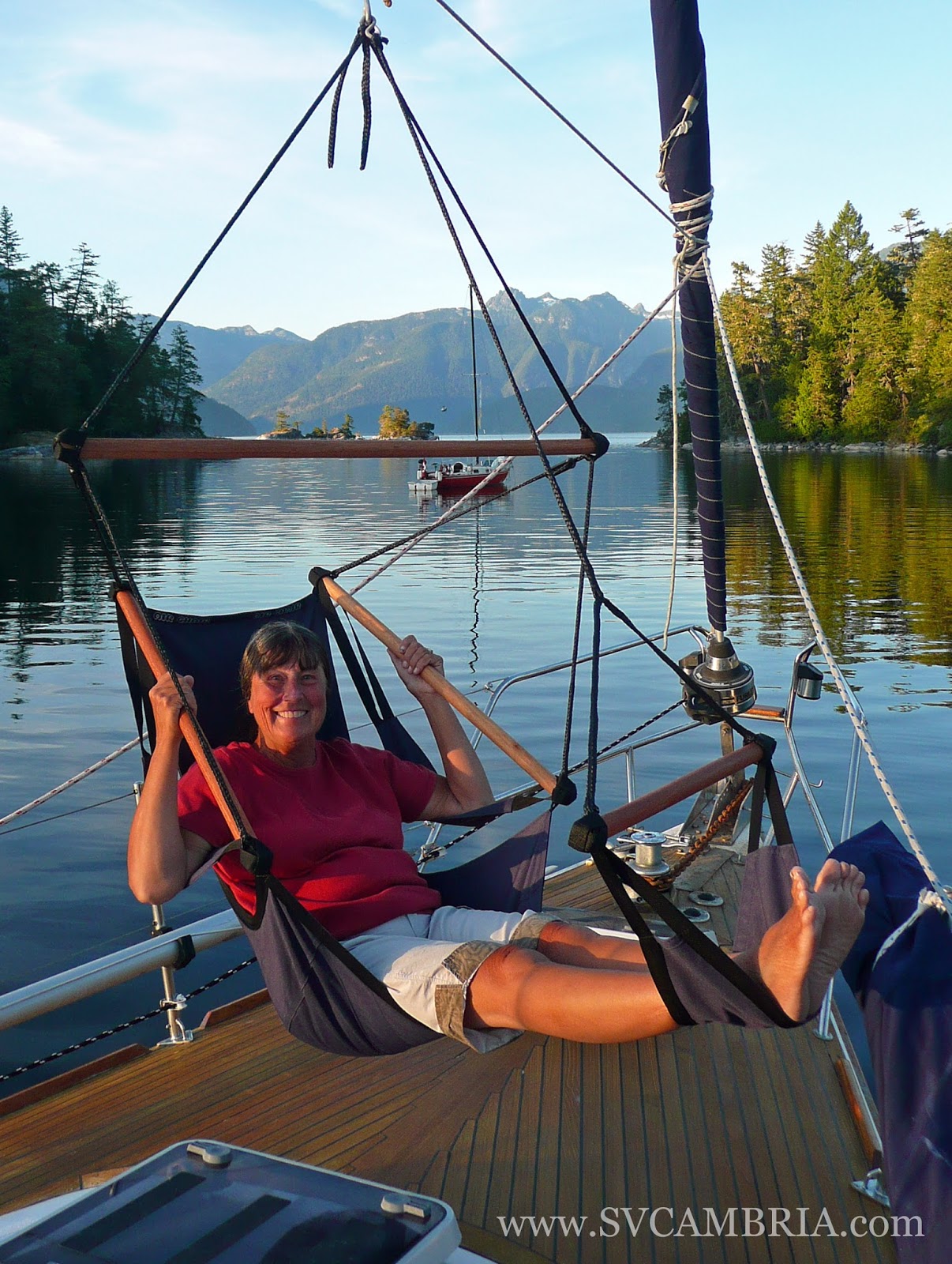
Roscoe Bay
is a yet another beautiful, undeveloped provincial marine park in the
Desolation Sound area, as well as a personal favourite of ours. Year after
year, we come back to enjoy the fresh-water lake, hiking, kayaking and the
views out to Waddington Channel and Mount Addenbroke. But like most anchorages in the area, it can get very busy during
the high-season (mid-June through mid-September).
Located
on the southeastern side of West Redonda Island, the anchorage offers good protection from all
directions, though we’ve been told by people with local knowledge that
southeasterlies can make it uncomfortable and dangerous at times. The holding
is good in mud with depths of 4 to 10 metres (13 to 33 feet), but we have been
there when boats have dragged – a result of poor anchoring rather than the
conditions.

The entrance to Roscoe Bay, which dries at zero tide, is narrow and can be intimidating the first time through. But, if you time your arrival with a rising tide and according to your boat’s draft and favor the south shore slightly, it’s straight-forward with an average depth of 3.5 metres (12 feet) at high water. However, if your timing is off, you can anchor outside the bar with a stern line to shore to wait for higher water or spend the night.

The entrance to Roscoe Bay, which dries at zero tide, is narrow and can be intimidating the first time through. But, if you time your arrival with a rising tide and according to your boat’s draft and favor the south shore slightly, it’s straight-forward with an average depth of 3.5 metres (12 feet) at high water. However, if your timing is off, you can anchor outside the bar with a stern line to shore to wait for higher water or spend the night.

Once inside, you’ll find plenty to do. A short trail at the head of the bay leads to Black Lake. Follow it beyond the kayak launching point, continue up the hill and take the first trail on the left to the bathing rocks for a fresh-water swim. If you have a kayak, you can portage it the short distance to the lake for a paddle around – you won’t be disappointed. Or if walking is more your thing, the trail continues and runs through rain forest to a lookout of the lake with obstructed views.


For
a more strenuous hike, there’s a trail that leads to the top of Llanover
Mountain located on the northern side of the anchorage near the information
board (just west of the grassy knoll – make sure you take the time to read
about the thousands of moon jellies that make Roscoe Bay their home). The trail
is approximately four miles long with a 700 metre incline (2300 feet). The
first three miles are up-hill and the final one is a near-climb, but the view
from the top is worth the effort.

And if you’re running low, someone has piped in drinking water from one of the streams. The hose is attached to a boat fender along the northern shore near the small waterfall. Avoid taking it after a heavy rainfall and always boil it before drinking.
Entrance: 50°09.69’N, 124°45.45W
Anchorage: Throughout
with good holding in mud in depths of 4
to 10 metres (13 to 33 feet).
Things to Do: Swimming, kayaking, SUPing, hiking, picking raspberries
and cherries along the northern shoal by the grassy knoll, and camping.
Disclaimer: This blog article is
not to be used for navigation. It is
purely an account of our personal experience in and around the Desolation Sound
area of British Columbia.